Groundwater
The search for water has always been an enduring necessity since the dawn of life. However, with increasing demand for this precious resource, it is necessary to expand the search geographically and enhance it technologically.
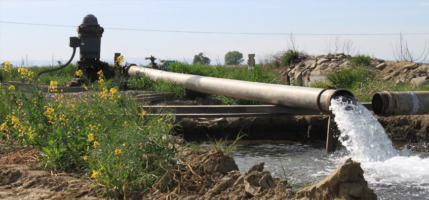
Currently, nearly 2.4 billion people live in water-stressed areas of the world. If you consider areas that face water scarcity for at least one month a year, which is almost half of the world's population, this number increases by 50%. It is clear that the challenge for those responsible for groundwater exploration is not limited to locating water, but often also includes determining the accessibility, longevity, quality, and security of an aquifer (underground water reserve).
Groundwater exploration and identification is the first step in locating potential groundwater resources. The next stage involves determining the extent, quality, and nature of the underground aquifer. These objectives can be achieved through a combination of studies including desk studies, on-site geological prospecting, geophysical studies, and intrusive tests such as drilling.
Drilling a well can be very costly, and there is no guarantee of finding water everywhere simply by drilling deeper. Since geological conditions can vary even over short distances, a borehole provides very precise information about geological layers beneath the drilling site, but conditions just tens of meters away can be very different. To get a better picture of subsurface conditions, a more comprehensive survey technique is often needed. Geophysical methods provide experts with the necessary information efficiently and extensively without drilling. The most common and widely used geophysical method for identifying groundwater is the geoelectric method. Today, the majority of groundwater studies are conducted using the geoelectric method. This method is based on injecting electrical current into the Earth's layers and measuring the electrical resistivity and chargeability parameters related to the subsurface layers. Based on these parameters, and by combining them with geological information, groundwater resources can be identified and located. The quality of groundwater and the spread of contamination within it can also be investigated using this method.
As we know, fresh groundwater is a precious and limited resource. With increasing population and urbanization, threats to groundwater are increasing. These threats include both pollution from human activities and salinity from overuse. Therefore, both newly identified aquifers and existing ones are constantly at risk of contamination, and their continuous study is inevitable.
Salinity surveys are conducted to determine whether an aquifer is fresh or saline. Beyond this, there is the potential for salinity to occur during an aquifer's lifecycle through over-extraction. This overuse can draw more mineral salts from depth, leading to increased salinity. In coastal areas, intense extraction can cause changes in recharge pathways, so that instead of the aquifer being fed by surface sources and rainfall, it is fed by seawater intrusion. Water salinity determination studies are also carried out using the geoelectric method.
Other geophysical methods, such as Proton Magnetic Resonance or Time-Domain Electromagnetics, are also used for groundwater resource exploration. The application of these methods is more limited compared to the geoelectric method.